GENERAL
The Parish of South Newington lies in the rolling hills of North Oxfordshire it is in the Local Authority of Cherwell, in the area served by Oxfordshire Rural Community Council.
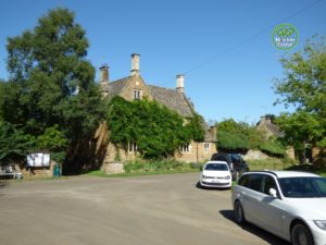
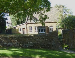
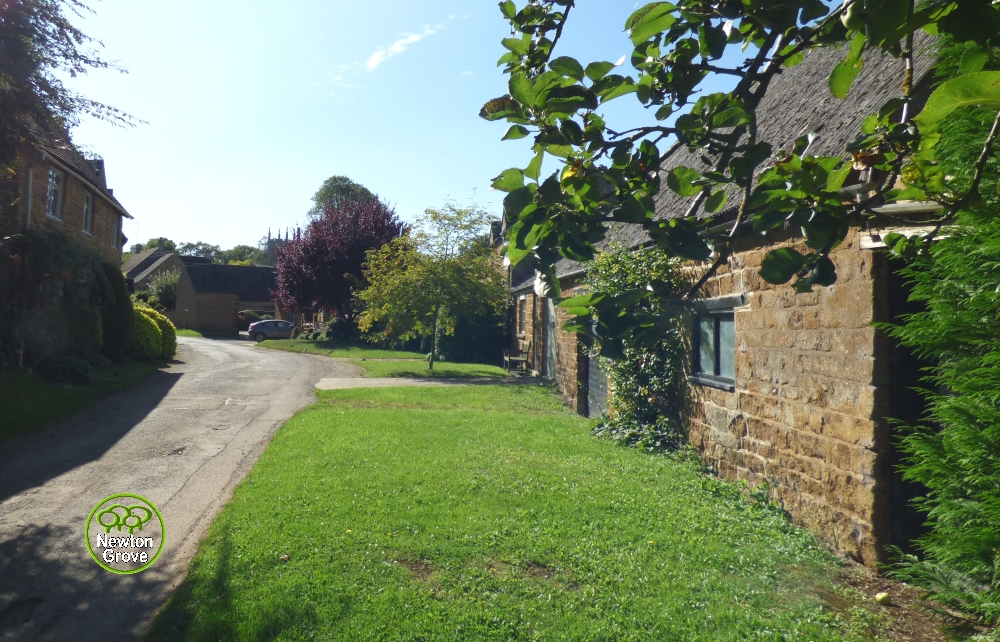
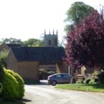
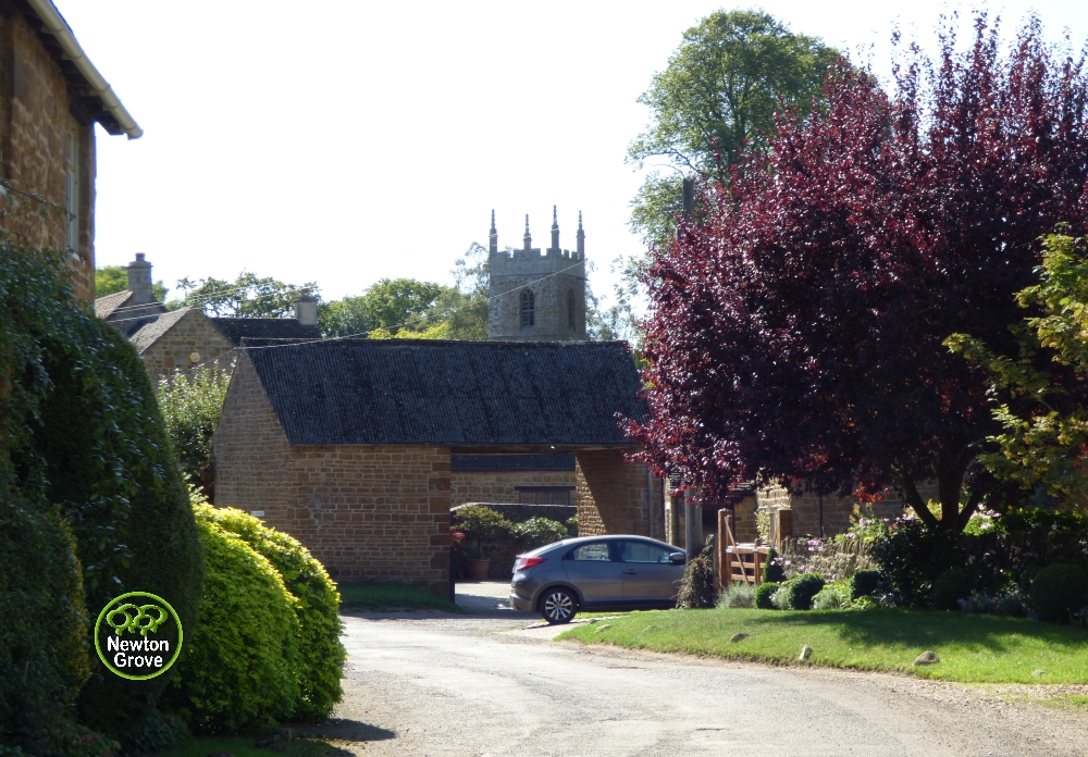
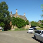
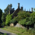
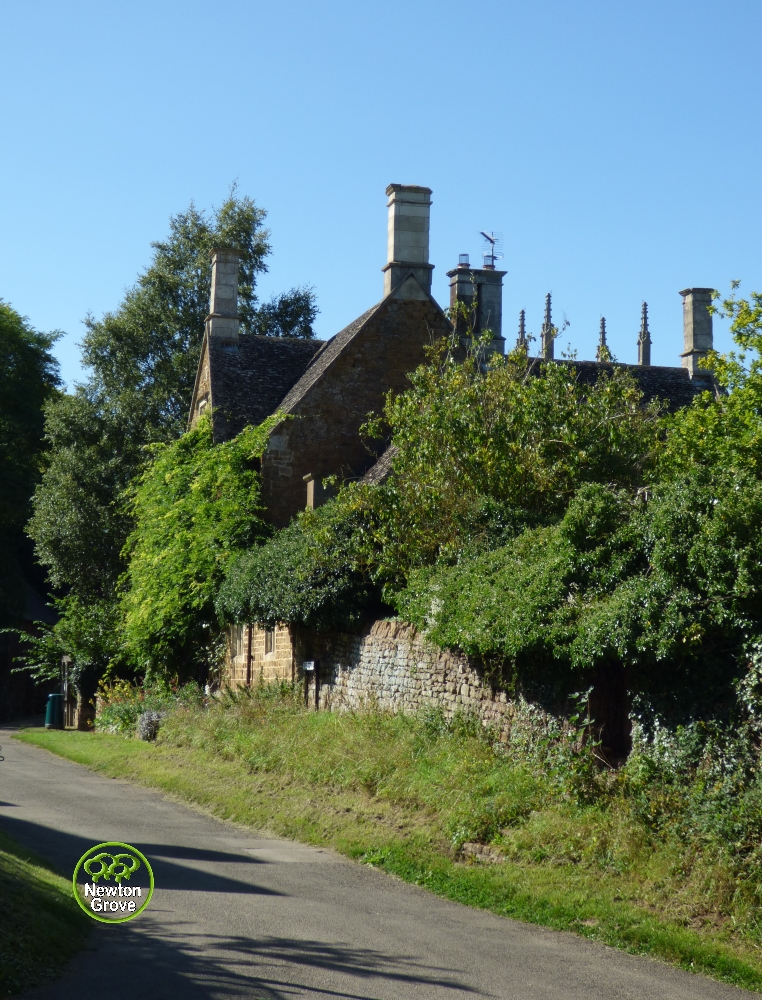
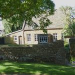
College Farm to the right of the church
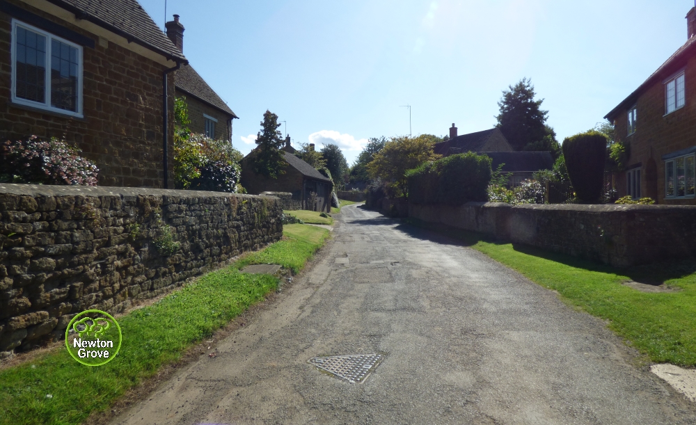
South Newington retains the character of a small, thriving village. Part of the village lies in a conservation area which was designated in 1989. The present village is believed to have originated in Anglo-Saxon times.
Most of South Newington's buildings are built of local honey coloured limestone/ironstone. Some can be dated to the 17th or 18th century. College Farm, next to the parish church, is a large, stone slate roofed example dated 1659.
2011 Cenus reported a population of 285 and 115 households with South Newington covering an area of 5.86 km2 (2.26 sq mi)
There is good mobile phone reception on most networks. Vodafone, O2 , Three and T-Mobile/Virgin have 4G reception
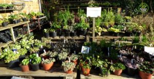
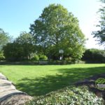
Plants at The Close, High Street
The village has a garage offering MOTs, Repairs, Tyres etc – SHM Automotive Ltd, a blacksmith producing Hand-Forged Artistic Ironwork - Piero Giannasi, Locally Grown Garden Plants are made available by Joan Giannasi, along Barford Road there is North Oxfordshire Topsoil Ltd specialising in topsoil sourced only from green field sites, Sapphire Alpacas home to alpacas kept naturally
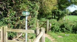
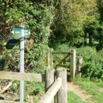
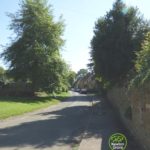
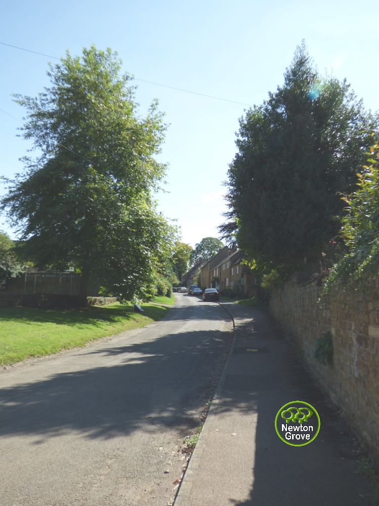
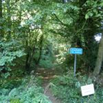
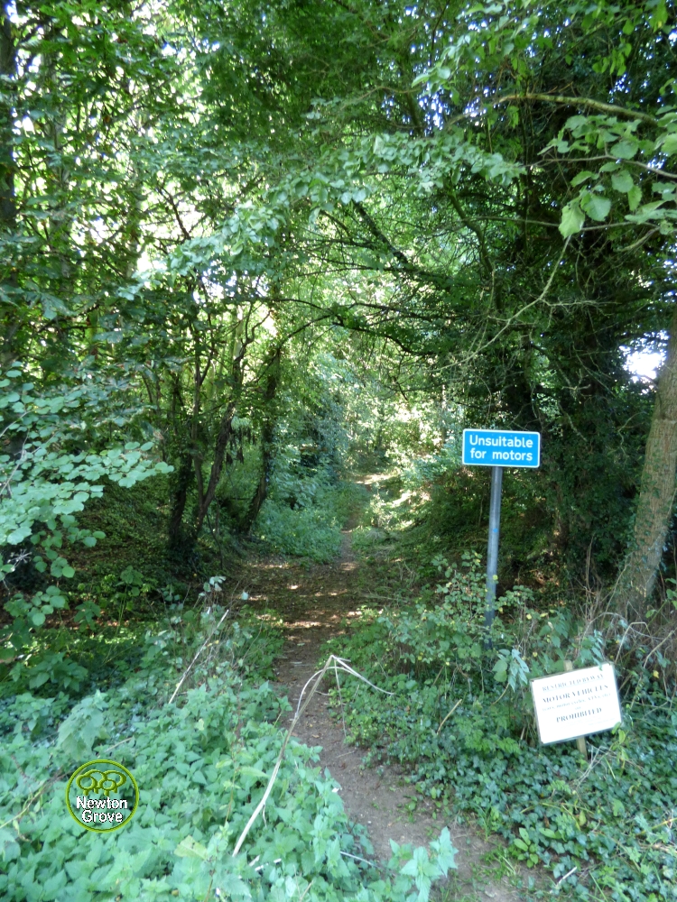
Footpath Signs at turn in Sands Lane
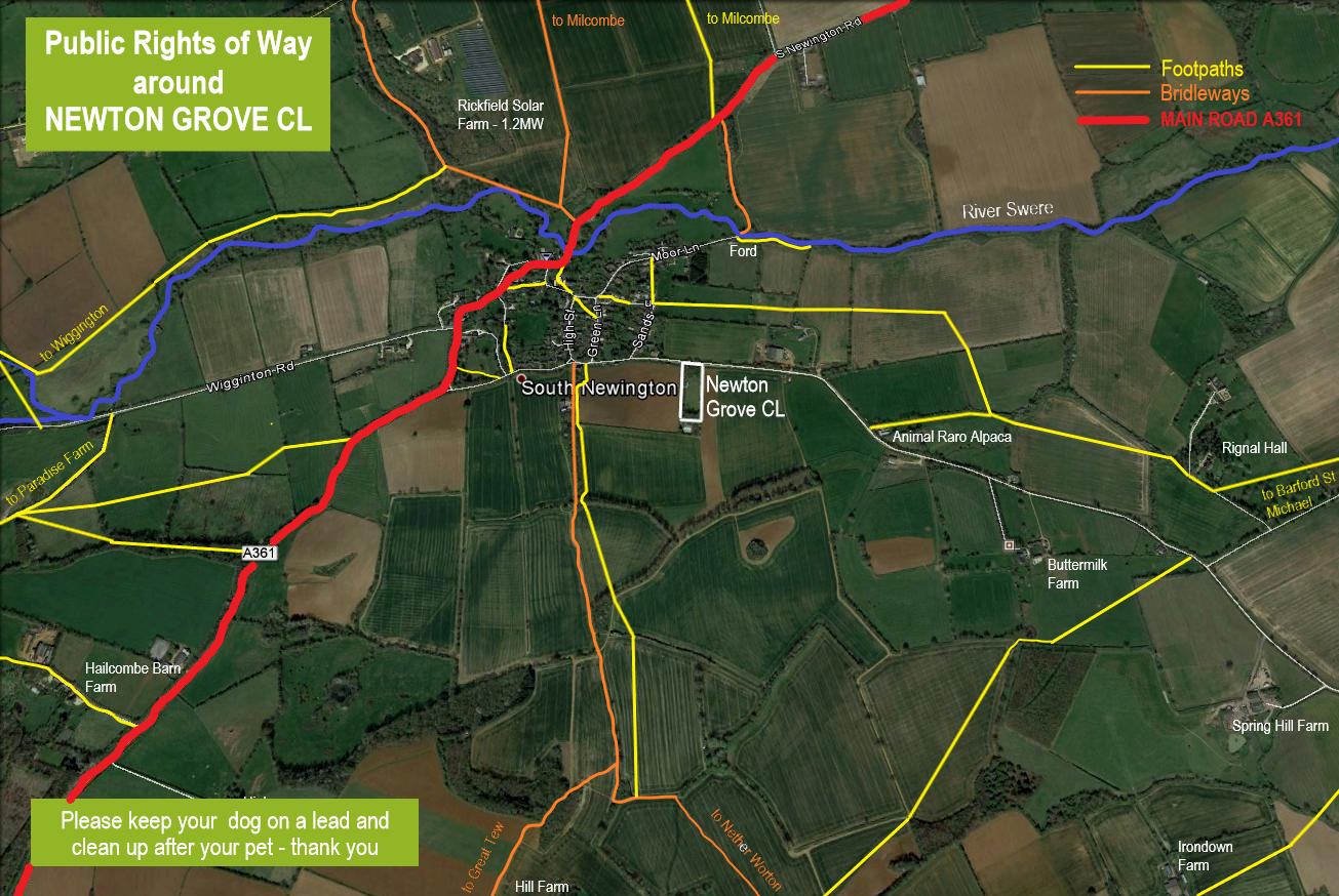
There are a network of public footpaths/bridleways in and around the village, to view a map click here
LOCATION
The village lies approximately 5 miles (8km) south west of Banbury on the south bank of the River Swere. The main road between Banbury and the Cotswold market town of Chipping Norton the A361 runs through the village north-east to south-west with the majority of the buildings to the south
HISTORY
To read up on the history of the village a good website to visit is British History online – visit site here
Subjects covered:
Manors and other Estates.
Economic History.
Local Government.
Church.
Nonconformity.
Education.
Charities for the Poor.
In October 1945 a film was commissioned entitled “24 Square Miles” (Kay Mander) part of a 1943 government project to better understand the use made of the countryside in North Oxfordshire – South Newington featured in it at least t
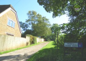
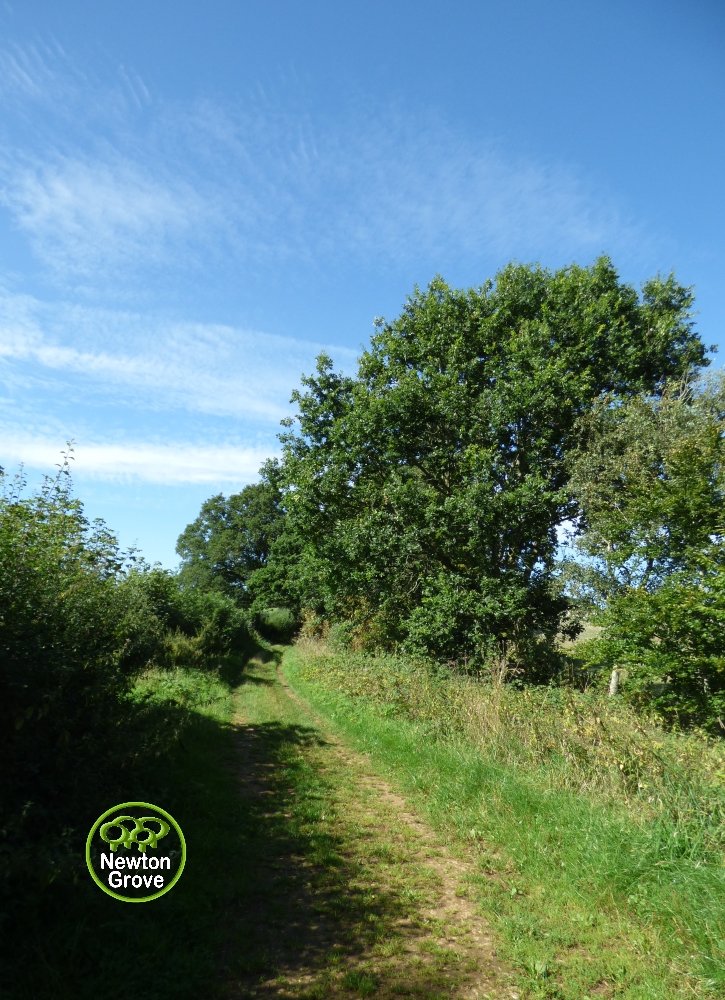
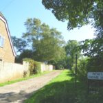
The School House and Home Hill track
wo times -16:57-19.00 mins - Louie Harper who lived in Exeter Cottage, High Street and 29.07 – 30.00 mins South Newington Village Hall. Watch it here (40:42 mins)
There was also a revised 24 square miles film made in 1992 watch it here (16:02 mins)
1796-1803 the village had a workhouse a cottage still exists named Workhouse Cottage in the High Street.
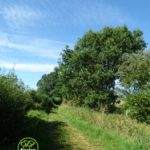
A School was opened by 1818, and moved to new building in 1837, it closed in 1965 and still exists as the School House to the left of Home Hill track. The Home Hill track which is a bridleway is thought to probably be the 'way going to Tew' recorded in 1507
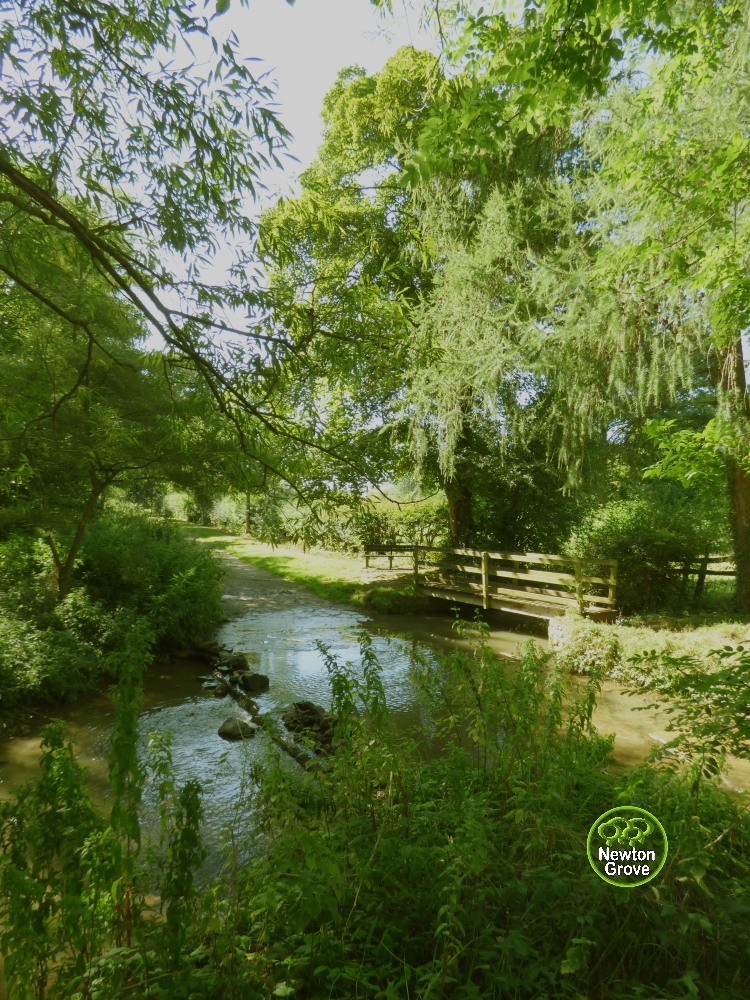
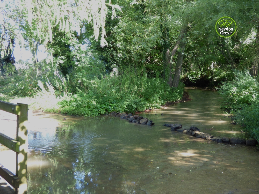
THE BAULK AND FORD
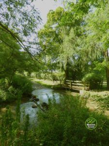
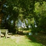
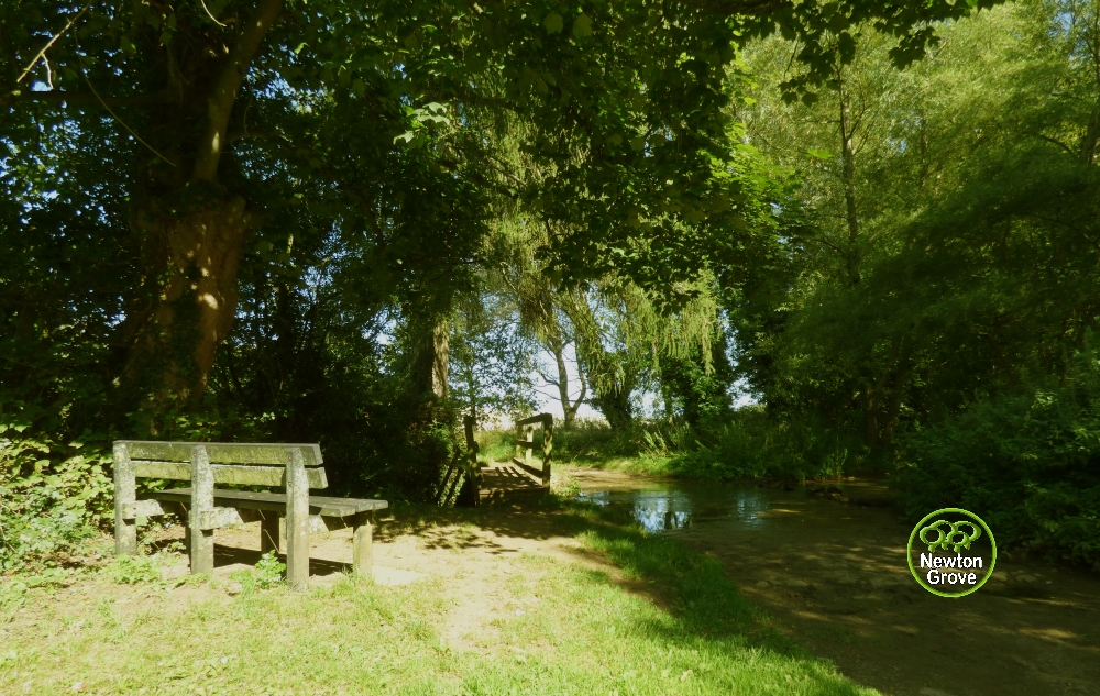
The Ford on the River Swere

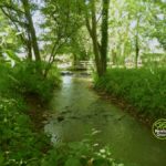
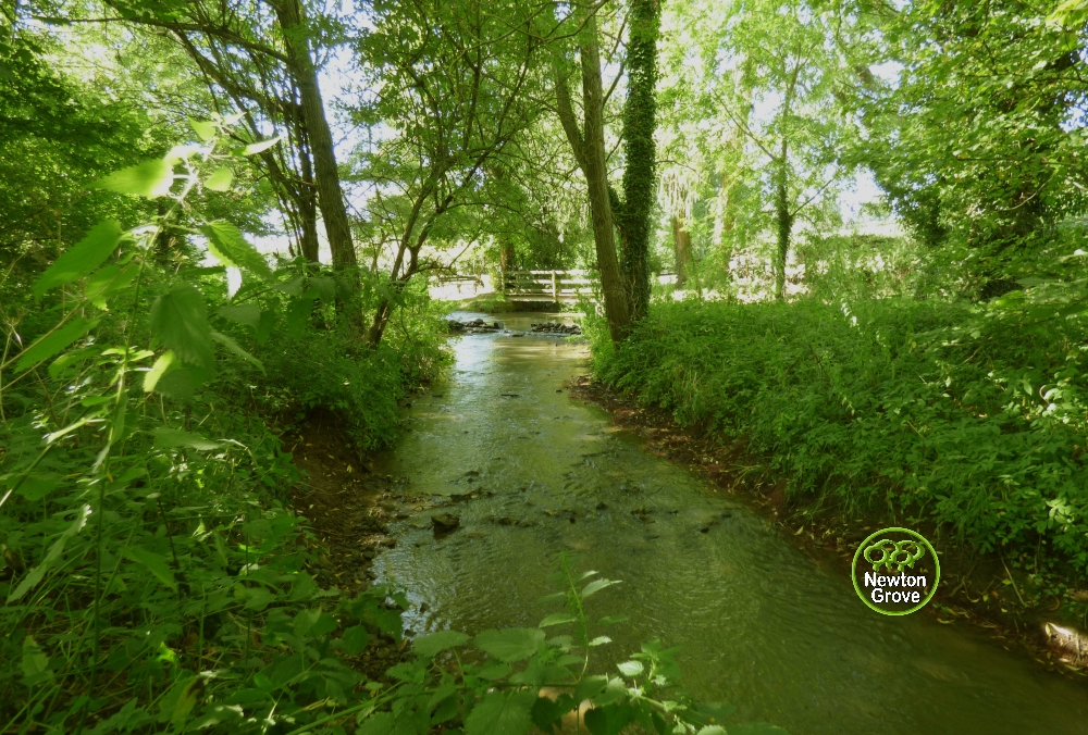
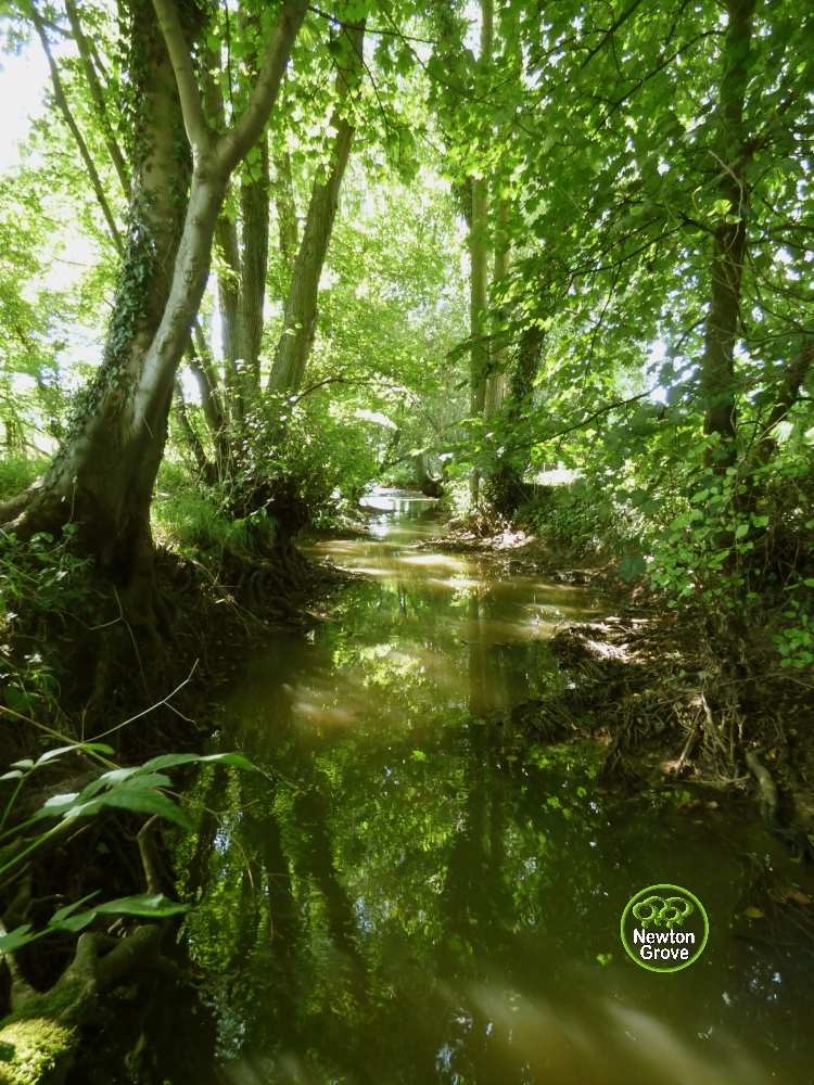
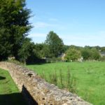
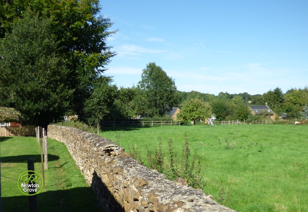
The River Swere from Carbridge
Walking down Moor Lane to the lowest point you reach the ford with the river Swere. Crossing over the ford you walk up the Baulk and on to Milcombe. The Baulk was the route of the former coaching road before the bridge and the route of the main road as it is today were formed. In 1794 the ford where the Baulk crossed the Swere was known as Carbridge this may inply that there was once before a bridge for carts there.
THE POLEAXE (The play area in the centre of the village)
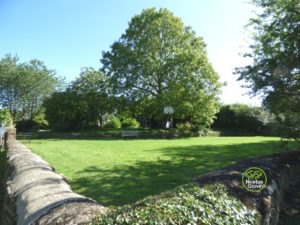
The Poleaxe - Playing Field
The Poleaxe was a large inn with stables until 1887. 1897 its buildings were given to the village as a reading room and hall. 1927 it was sold and most of ithe buildings were demolished. It was given back to the village in 1934 as a playground, in which use it remains today.
The Poleaxe contains a variety of play equipment and an open areas with a goal and a basketball net.
Dogs are not allowed on the Poleaxe.
VILLAGE HALL
TheVillage Hall
Originally built in 1692 by the Quakers as a Friends Meeting House, later purchased by Mr George Dyson, a local. Who then gave it to the village in 1928 for village social occasions
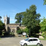
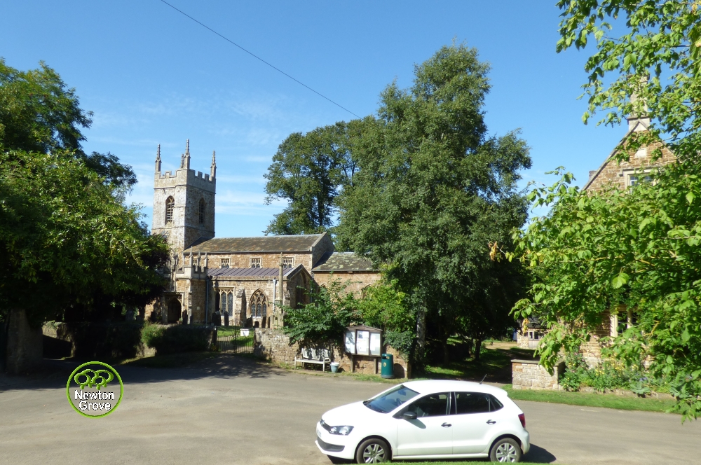
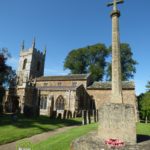
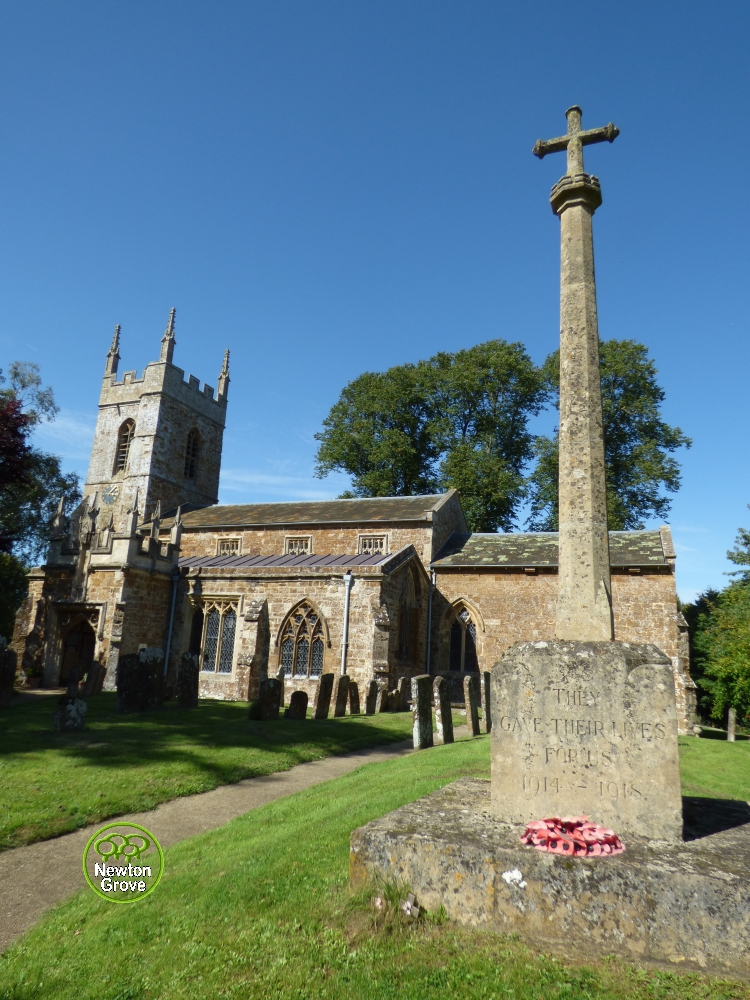
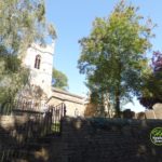
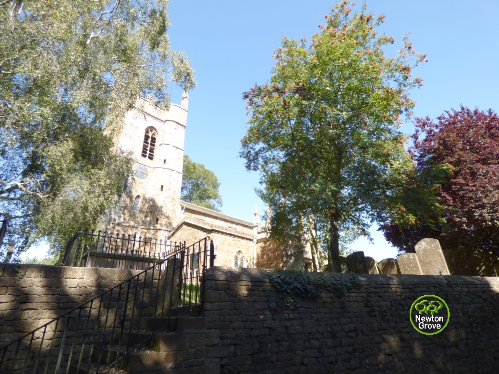
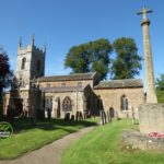
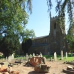
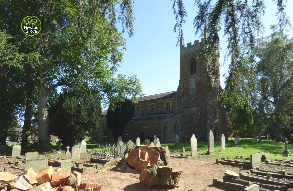
CHURCH
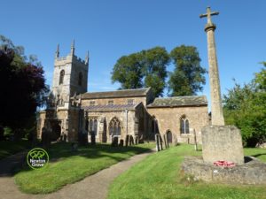
The Church
The Village church is late Norman and is one of only fifteen churches in England to be dedicated to St Peter ad Vincula. The church has become famous for the well preserved wall paintings which are nationally important and said to be among the finest in England. Read more and see images of the paintings here
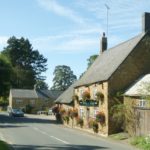
PUBLIC HOUSE & RESTAURANT
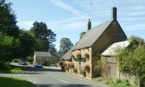
The Duck on the Pond
On main road that runs through the village is the village pub.
In the 18c the village boasted four pubs! The Horse and Jockey, The Pole Axe, The Wykham Arms and The Three Goats. The Wykham Arms survived and is now called “The Duck on the Pond”
FOOTPATHS & PUBLIC RIGHTS OF WAY AROUND SOUTH NEWINGTON
Village Photo Gallery
Click any image thumbnail and this will open it in an image box to show the complete enlarged image, you can then scroll through the others by clicking "next" or using "arrow keys" or just close it when you wish.
-
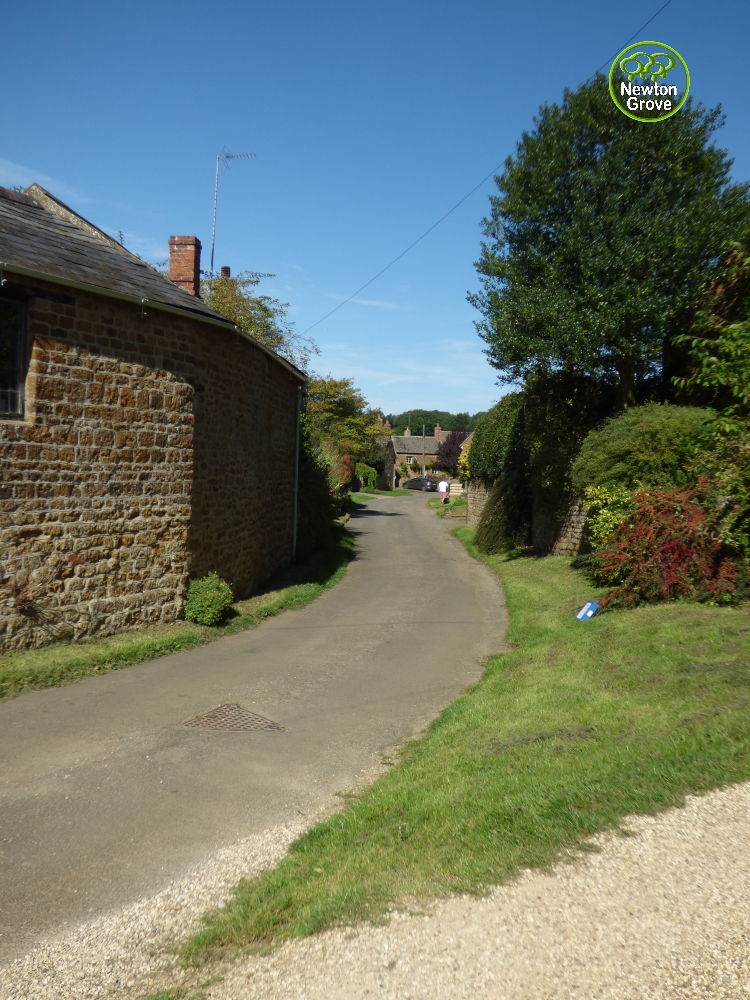
- View down Moor Lane
-
- View along Moor Lane
-
- View up Moor Lane
-
- View of the church from Moor Lane
-
- View up Green Lane
-
- View down Green Lane
-
- The track down to the Ford
-
- The Ford
-
- The Ford from the bridge
-
- The Ford
-
- The Ford from Carbridge
-
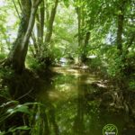
- River Swere
-
- The Baulk to Milcombe
-
- Footpath signs at turn in Sands Lane

-
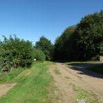
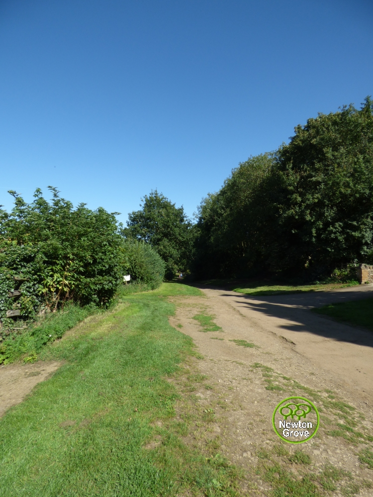
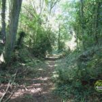
- Footpath from Sands Lane to Moor Lane
-
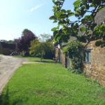
- College Farm

-
- View of College Farm & Church behind
-
- The Poleaxe playing field

-
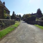
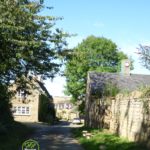
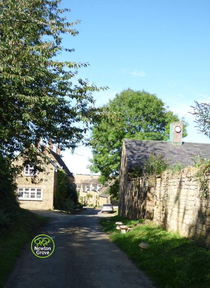
- High Street
-
- The Pub

-
- Village Hall

-
- School House & Home Hill track

-
- Church from the Poleaxe
-
- The Church
-
- Church from Slibber
-
- The Church

-
- Churchyard and what was the beech treech
-
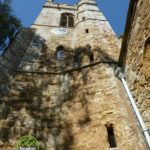
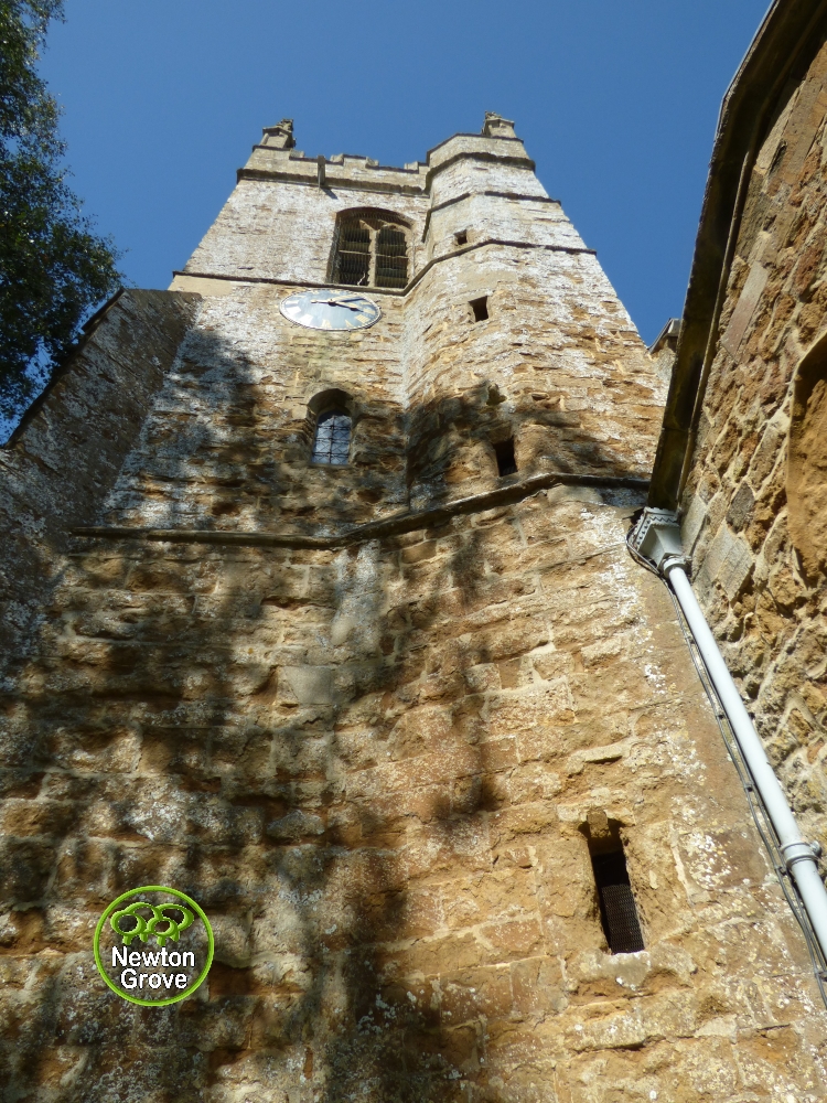
- The Church Tower
-
- Footpath to Bakers Lane
-
- Footpath to Bakers Lane
